

Chief Areas of the British Colonial Empire British Education Poster
- ca 1950s
-
16 x 13 inches ~ (40 x 33 cm)$140
- Card
- Add to Cart Add to Wishlist E-Mail Us About This Poster
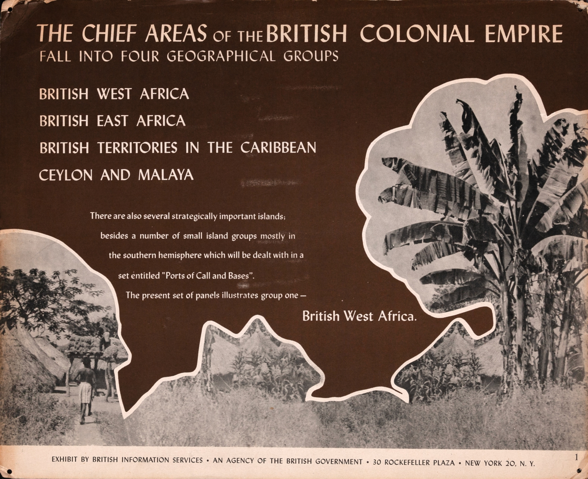
The chief areas of the British colonial empire fall into four geographical groups: British West Africa, British East Africa, British Territories in the Caribbean, Ceylon and Malaya
There are also several strategically important islands; besides a number of small island groups mostly in the souther hemisphere which will be dealt with in a set entitled "Ports of Call and Bases". The present set of panels illustrates group one - British West Africa.
Interesting educational card from a series promoting British support of African causes used in an “exhibit by British information services”

